


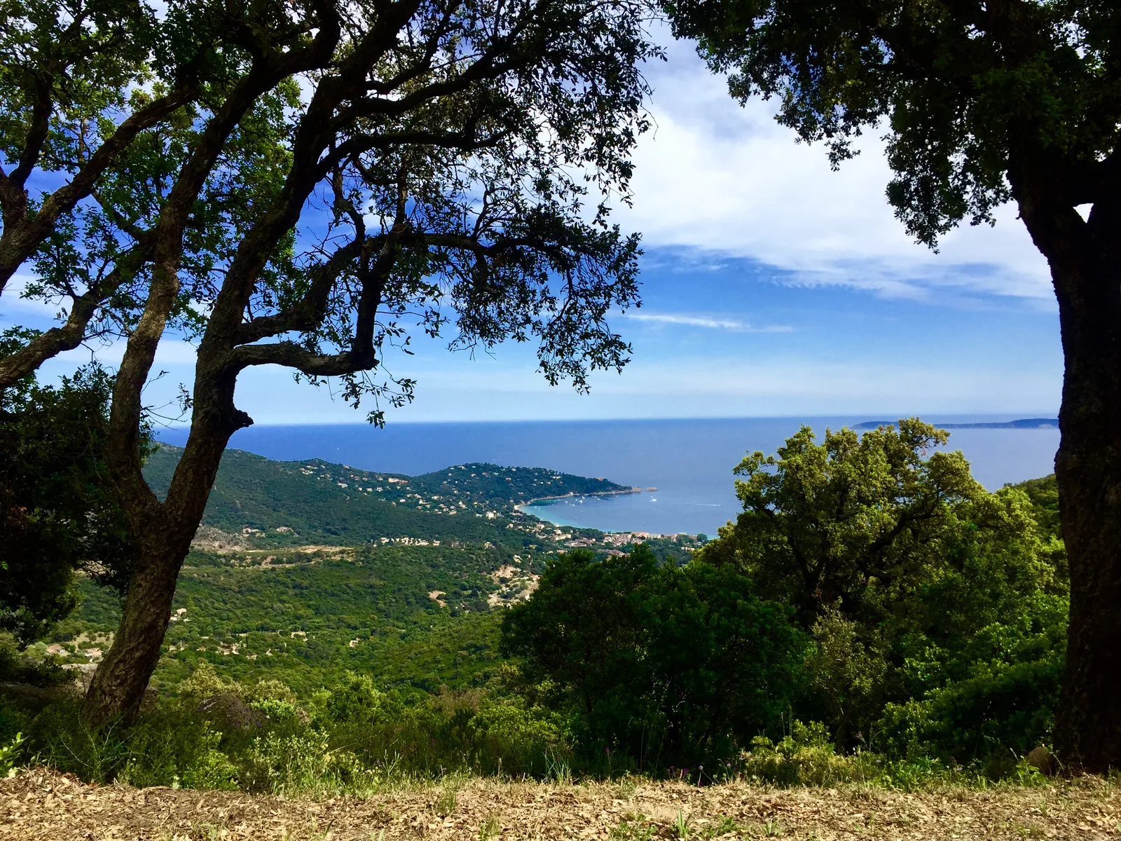
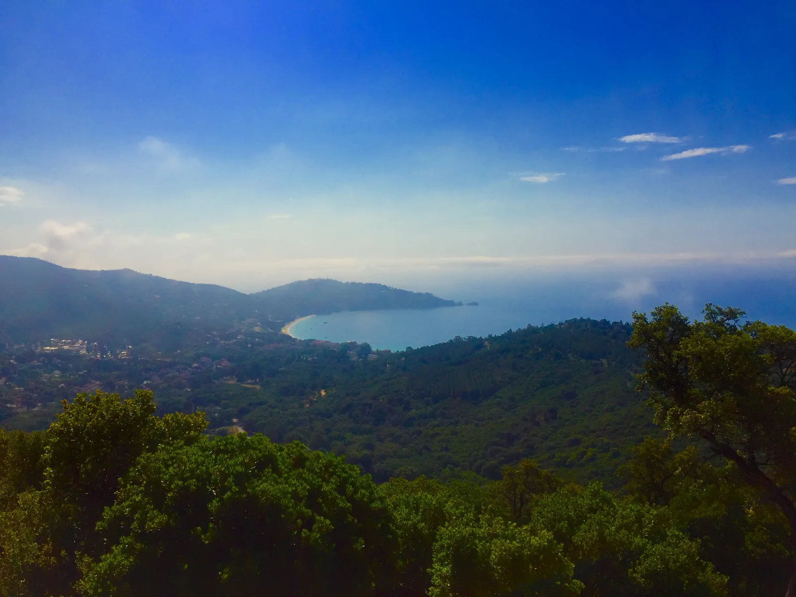
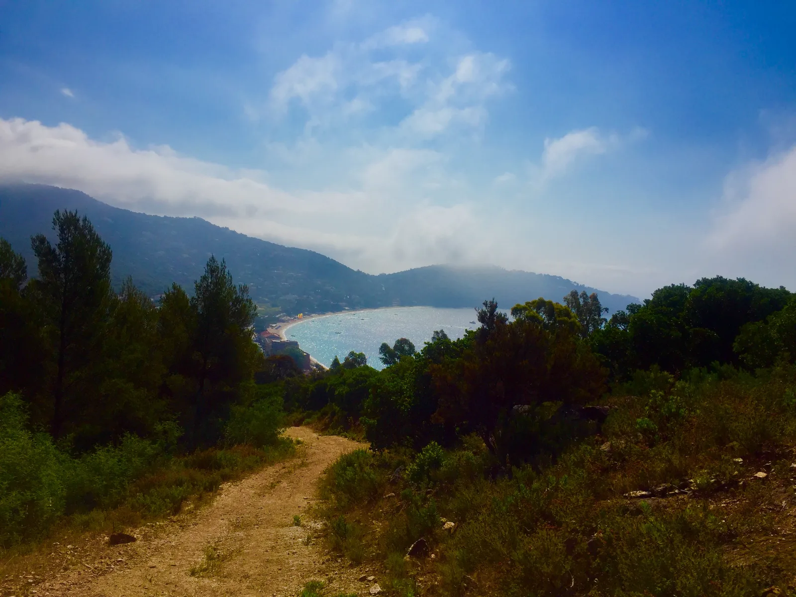
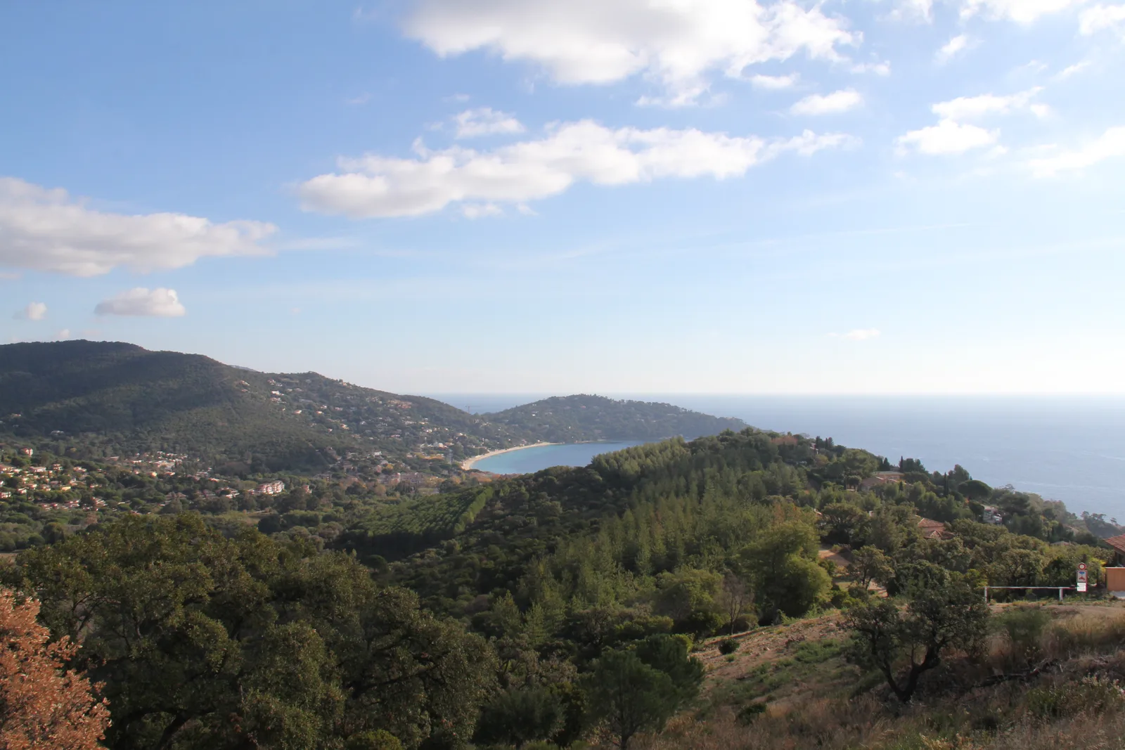
This loop with its varied landscape (covered with mimosas in February and March) allows you to reach the heights of Cavalière. You will discover a panorama between sky and sea, opening onto the horizon of the Mediterranean and the Golden Islands.
Route details
Description
This loop with its varied landscape (covered with mimosas in February and March) allows you to reach the heights of Cavalière. You will discover a panorama between sky and sea, opening onto the horizon of the Mediterranean and the Golden Islands.
PARKING
Large free car park to the left of the 1st roundabout at the entrance to the village, near the lake.
NATURAL/CULTURAL HERITAGE ON THE ROUTE
– Mimosa undergrowth
– View of Cavaliere Bay and Levant Island
– View of the Maures massif, the Southern Alps
– View of the Giens peninsula, the bay of Lavandou, the islands of Porquerolles, Bagaud, Port-Cros and Levant.
RECOMMENDATIONS
• Always inform yourself about the weather.
• During the hunting season, do not stray far from marked trails.
• Only use the trail during authorized times! Find out about the opening status of forest areas, particularly in summer. (See Var prefecture website).
• Bring sufficient water and good shoes.