


Discovery of the natural and cultural heritage of Collobrières, in the most important forest massif of the Var, the Massif des Maures.
Route details
Description
The route takes the GR90 which goes down from Notre Dame des Anges, passes the old bridge (12th century), and goes up opposite via rue Camille Desmoulins, rue H.
Bianqui, on the left, rue Buffon, crosses Place Rouget de L'Isle and through the porch, arrives on the esplanade of the ruined Saint-Pons church.
Take the path that goes left then a tiny path.
Immediately right towards the TV relay.
The route takes place in the undergrowth (stay to the right), finds a track for a moment, then immediately takes a small path on the left which rises regularly.
It recovers a track for a moment, leave the green gate on your right and climb onto the track.
Arriving at a crossroads of several paths on flat ground, leave the GR 90 to head right (wide path, beehive) towards the ruined mill 200 m away.
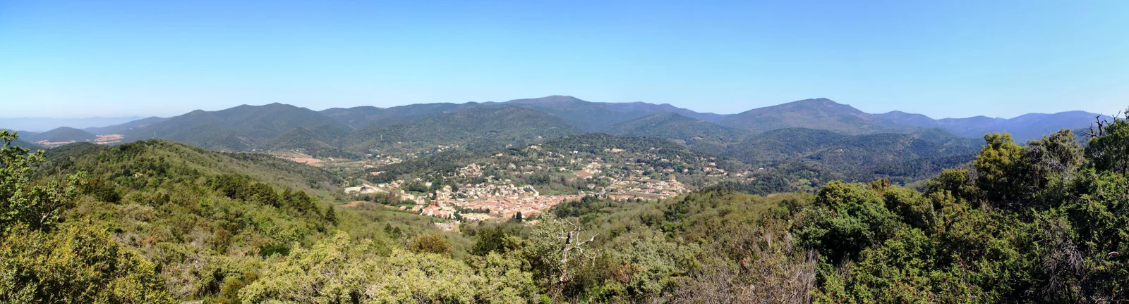
Viewpoint over the Malière valley and the Desteou chasm from the ruined mill.
Take the path which descends towards the west to the Saint-Pons oratory. Continue straight ahead (West), opposite, crossing the embankment, the path which runs along the ridge to a track, take the concrete track on the right (50 m)
Further down, you will find:
– in a hairpin on the right, on your left and below, the start of the châtaigneraie circuit
– on the right, return to the village via the track (downwards).
Bianqui, on the left, rue Buffon, crosses Place Rouget de L'Isle and through the porch, arrives on the esplanade of the ruined Saint-Pons church.
Take the path that goes left then a tiny path.
Immediately right towards the TV relay.
The route takes place in the undergrowth (stay to the right), finds a track for a moment, then immediately takes a small path on the left which rises regularly.
It recovers a track for a moment, leave the green gate on your right and climb onto the track.
Arriving at a crossroads of several paths on flat ground, leave the GR 90 to head right (wide path, beehive) towards the ruined mill 200 m away.
Viewpoint over the Malière valley and the Desteou chasm from the ruined mill.
Take the path which descends towards the west to the Saint-Pons oratory. Continue straight ahead (West), opposite, crossing the embankment, the path which runs along the ridge to a track, take the concrete track on the right (50 m)
Further down, you will find:
– in a hairpin on the right, on your left and below, the start of the châtaigneraie circuit
– on the right, return to the village via the track (downwards).