


This family hike on the Sensitive Natural Area of Sainte-Christine will take you through a departmental property through its typically Provençal forest as well as two chapels marking the boundary between the communes of Cuers and Solliès-Pont.
Route details
Description
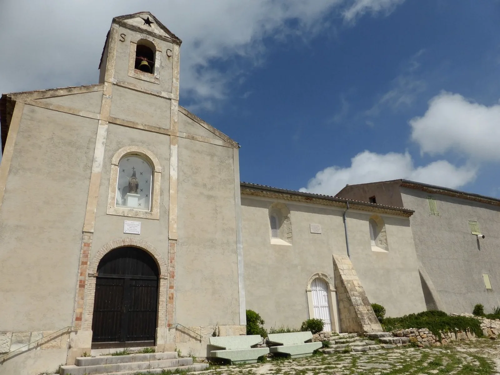
Two wall-to-wall chapels: on the left, from behind, the Solliès-Pontoise chapel (foundation mid-11th century; enlargement mid-16th century); on the right, from the front, the Cuersoise chapel (built mid-16th century).
Only 50 centimeters separate them.
The walk offers panoramas of the La Crau plain, the Fenouillet, the Barre de Cuers and the Pilon Saint-Clément, the Coudon, the Massif des Maures and the wine-growing plain of Pierrefeu du Var.
There are oratories along the way.
To access the two chapels from Solliès-Pont take the direction of Solliès-Toucas. At the roundabout just after the bakery, turn right towards Sainte-Christine. Follow this sign to the Sensitive Natural Area.
The hike starts from the car park located below the chapels. Take the path slightly to the left, heading west. An arrow post indicates the start of the walk. Follow the direction “Le Verger” at 1 m.
Take the winding path through the scrubland. At the bottom of the descent, turn right along the path in cool and shaded undergrowth. 500 m further, you will pass a small ruin where you will find a few picnic tables.
Continue straight on for 300 m. In a slab area, take the path on your right which will take you back to the starting point.