


Departure from the Hameau de la Portanière, follow the yellow markings leading into the Loubier valley.
Brochure “walking tours” available at the Tourist Office
Brochure “walking tours” available at the Tourist Office
Route details
Description
Take the direction of Collobrières and after 2 km, turn left Chemin de Maraval.
Follow to the Hameau de La TUILIERE.
At the exit of the Hameau at the crossroads, turn left onto Chemin des Hameaux leading to the Hameau de St Jean and continue to La PORTANIERE, to park the vehicle.
Facing the La Portanière gîte, reach the small square on the left, in the center of the Hamlet, follow the YELLOW markings azimuth 70, leading into Vallon Loubier. At the exit of the square, after about 100 meters, turn left towards “Les Rouves”.
Follow the tarmac road by turning left, at the top, azimuth 280. Continue on this tarmac section for approximately 150 meters, to take the path which leads to the Réal-Martin river 300 meters below, follow azimuth 30.
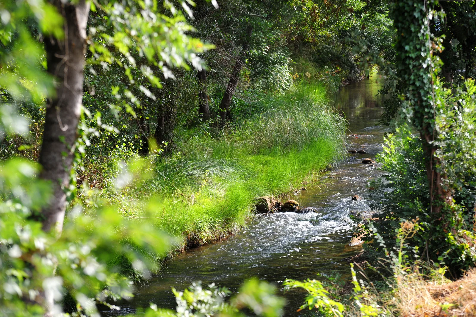
Walk along the river bed, enjoying the exceptional setting, until you reach the Vidaux ford.
Turn completely right to follow the Piste des Perriers which gradually rises azimuth 190. Continue on the main track for approximately 3,5 km to reach Vallon Loubier.
Continue taking a left until you cross a ford.
Raise azimuth 100 to follow the track which rises slightly and reach a crossroads at hill 189, a place called “Les Cogolins”.
Arriving on this crow's feet, immediately locate a path on the right that goes up under the oak trees providing access to the path to Sauvecanne azimuth 240.
Follow this crest track for approximately 3 km and come to a crossroads where you will have to turn left azimuth 130.
Coming out of the woods at hill 121, at a place called Collet de La Basse, immediately turn right and take azimuth 200 to reach the La Portanière lodge and the vehicles.
Follow to the Hameau de La TUILIERE.
At the exit of the Hameau at the crossroads, turn left onto Chemin des Hameaux leading to the Hameau de St Jean and continue to La PORTANIERE, to park the vehicle.
Facing the La Portanière gîte, reach the small square on the left, in the center of the Hamlet, follow the YELLOW markings azimuth 70, leading into Vallon Loubier. At the exit of the square, after about 100 meters, turn left towards “Les Rouves”.
Follow the tarmac road by turning left, at the top, azimuth 280. Continue on this tarmac section for approximately 150 meters, to take the path which leads to the Réal-Martin river 300 meters below, follow azimuth 30.
Walk along the river bed, enjoying the exceptional setting, until you reach the Vidaux ford.
Turn completely right to follow the Piste des Perriers which gradually rises azimuth 190. Continue on the main track for approximately 3,5 km to reach Vallon Loubier.
Continue taking a left until you cross a ford.
Raise azimuth 100 to follow the track which rises slightly and reach a crossroads at hill 189, a place called “Les Cogolins”.
Arriving on this crow's feet, immediately locate a path on the right that goes up under the oak trees providing access to the path to Sauvecanne azimuth 240.
Follow this crest track for approximately 3 km and come to a crossroads where you will have to turn left azimuth 130.
Coming out of the woods at hill 121, at a place called Collet de La Basse, immediately turn right and take azimuth 200 to reach the La Portanière lodge and the vehicles.